
At the end of December of last year, Google Maps added an important feature to its application for mobile devices, but unfortunately we had to wait for the arrival of high temperatures to begin to see its effects. alerts in Spain.
To keep us safe with Google Maps we can know where there are forest fires to keep us informed, plan our trips or movements, or make important decisions if we see that we have a fire very close.
Forest fires on Google Maps
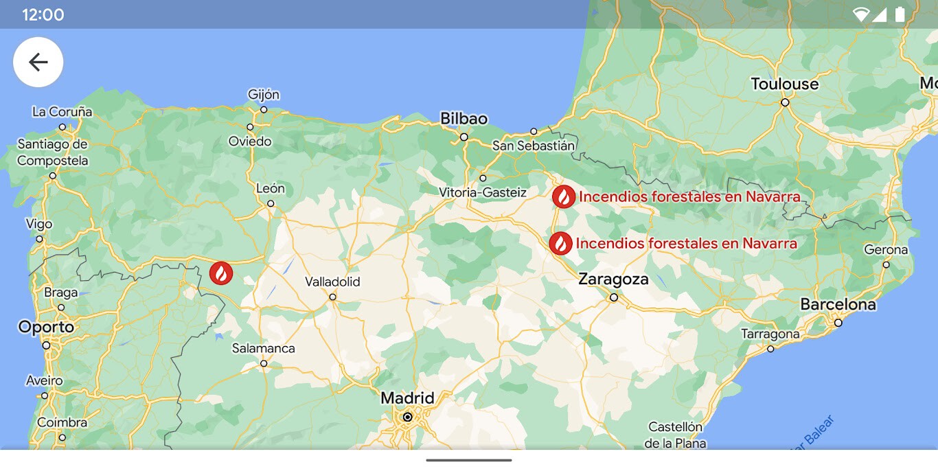
Google Maps by default it always shows the forest fire alerts when the map is very enlarged, showing the forest fire alert in red and with the icon of a flame of fire, but we have two ways to force wildfire alerts.
The first way is to activate the wildfire layer. To do this, we just have to click on the icon layers that we find in the upper right part of the application of Google Maps and then click on the layer Forest fires. This will activate all the forest fire alerts in the world, so now we only have to explore the map to locate the fires.
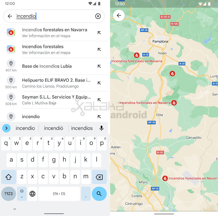
The second way we have to see the fires on the map is via the Google Maps search bar. There we can search for “Fires” and the autocomplete will show us suggestions to see all forest fires or forest fires in a specific area of the country.
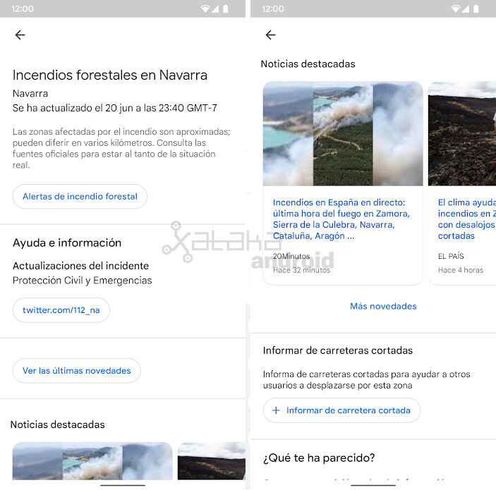
Once we see the forest fires on the map, we can tap on an alert to see more useful information, such as the time the alert was updated, where we have to ask for help and informationsee the latest outstanding news about said fire or report road closures to help other users.
In Engadget Android | Google Maps Live View: this is augmented reality navigation and how to activate it


