Google Maps is bringing its “time travel” feature to iOS and Android.
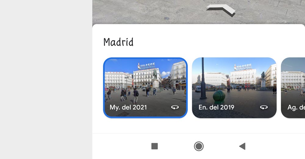
Following the same dynamics that we find in the web version of Maps, we can now use Street View to see images of the past of a certain place from the mobile.
How to see images of the past of certain places with Maps
Thanks to the great history of Street View we can see how a place has changed over time. Although this possibility will not be available in all the locations that we choose, we may find some interesting places that have the option to travel back in time and see what they looked like 2 or 3 years ago.
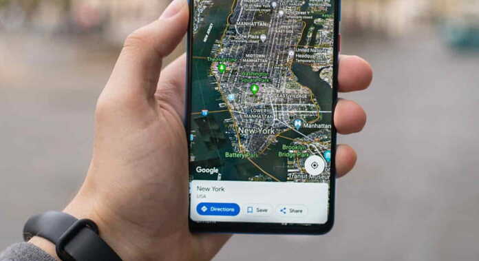
A dynamic that we can now also do from the Google Maps app on iOS and Android. You just need to open the app and search for the location you are interested in on Maps. Once the app returns your search, scroll to the bottom to open the Street View box.
When you perform that action you will see that not only will the Street View views of the location you are looking for be opened, but also the new option “See more dates” will be added. If you click on that option, a carousel will open with all the available dates. Just choose the year of time you are interested in viewing and that’s it.

Keep in mind that you won’t find the ability to jump between dates in every location you’re interested in, nor will the same dates be displayed for browsing past views. So in some locations you will have a lot of views from previous years, and in other places you will only have the current views.
Still, it is an interesting option to consider. It may not be as comfortable as the dynamics offered by the web version of Google Maps, but it is appreciated that it is integrated into the app for iOS and Android.


