There are various causes that can cause a fire. One of them is the high temperatures that in recent weeks have caused a large number of fires throughout the Spanish territory, as well as in various parts of the world.
If you are someone who lives in an area prone to forest fires due to high temperatures, or you want to check the places where a fire is taking place in real time, you can use an interesting tool created by NASA.
Its about Fire Information System for Resource Management (FIRMS), a tool that has an interface where people can have the opportunity to access active fire data.
All this thanks to the satellite observation of the spectroradiometer Images in Moderate Resolution (MODIS), as well as the Radiometer Set Visible Infrared Imaging (VIIRS).
In the case of MODIS, this tool captures images with a spatial resolution of a pixel for every kilometerwhile in VIIRS each pixel represents an area equivalent to 375 meters.
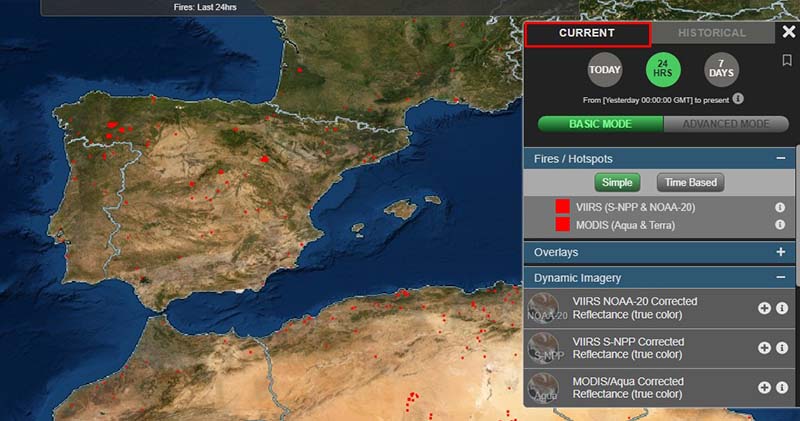
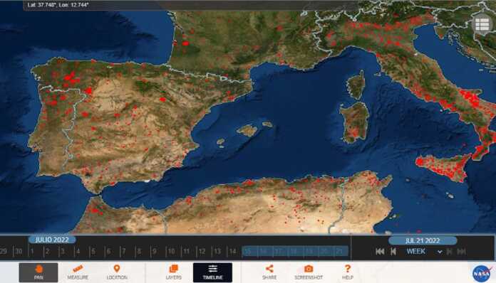
Once the data is collected by the system, NASA makes it public domain through its website, so that when you access it you can see a map with red squares that reflect each active fire detected by the satellite.
However, it is necessary to take into account that not all the areas shown in red will correspond to fires, since there are also other situations that could be reflecting a considerable rise in temperature such as hot smoke, agricultural activities, volcanic activity or gas flares.
Added to this, NASA points out that clouds can add difficulty to the task of detecting fires in a given area.
Clicking on the tab Current you will be able to see all the hot spots that are active in real time.

Also, the page allows you to consult the sources of heat registered in the last 24 hours, as well as weekly.
MODIS also provides a history to keep abreast of its evolution, also having a function to take screenshots and share the map with other people through social networks.
In addition to the NASA website, this active fire map can be consulted on Geamap, which also presents a global scale map of this incidence using data collected by the space agency.


